Monday 18 September 2017

Day 20: Bishop CA - Dinuba CA

The Calculator app in Windows 10 can convert Many Things from one unit to another, but fuel consumption is not one of them.  However, by the miracle of SCIENCE I can tell you that the ASBO did 26 miles per titchy US gallon over the first 4000 miles of the trip, which is 31.2 miles per Proper Gallon or 9L/100 km for those of a Europhilic disposition.  By Sunday morning those numbers were 21 / 25.2 / 11.2, which all goes to show something although I'm sure I don't know what.
I departed Bishop northwards up US-395, the method in this apparent madness being that I wished to detour to Mosquito Flats but couldn't do it yesterday due to the 22 extra miles, which would have put me in danger of running out of Motor-Spirit before reaching Bishop, where the Shell station knows me and wants to be my friend.  The reason for visiting here is this:
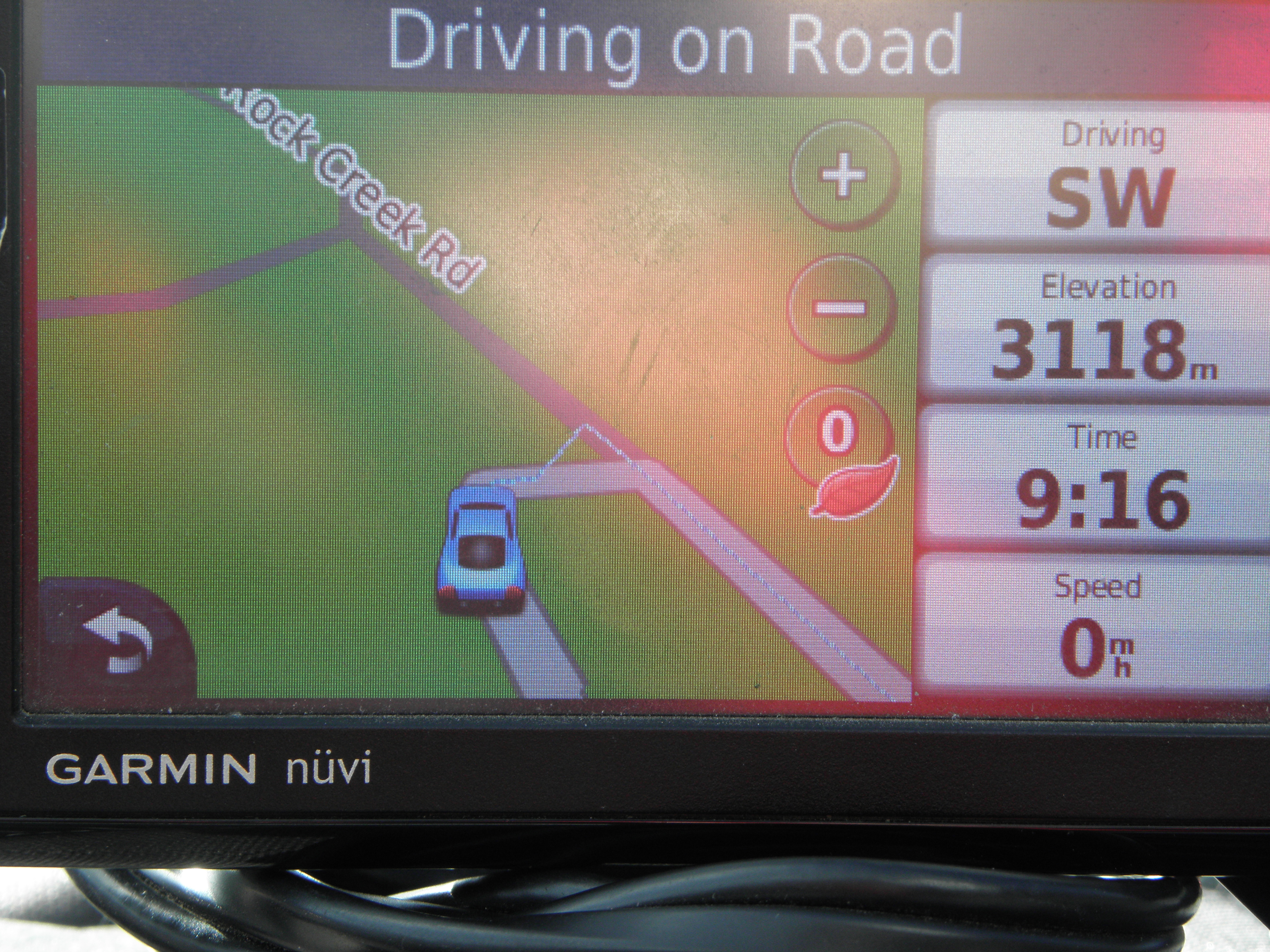
Emily Indicates Altitude
While Emily fondly believes the bridge carrying I-205 across the Mighty Columbia to be a Several of metres below sea level, Mosquito Flats is definitely approximately 10,200 feet up, which makes it Yet Another Place I Missed On A Previous Trip, namely 2011's hunt for high-altitude Tarmac.  That's three I've found since then and there's another one on the cards for Wednesday.  I'll have to do the 2011 thing again.  Or something.  Anyway, Rock Creek Road, which leads there from Tom's Place, is dead scenic.
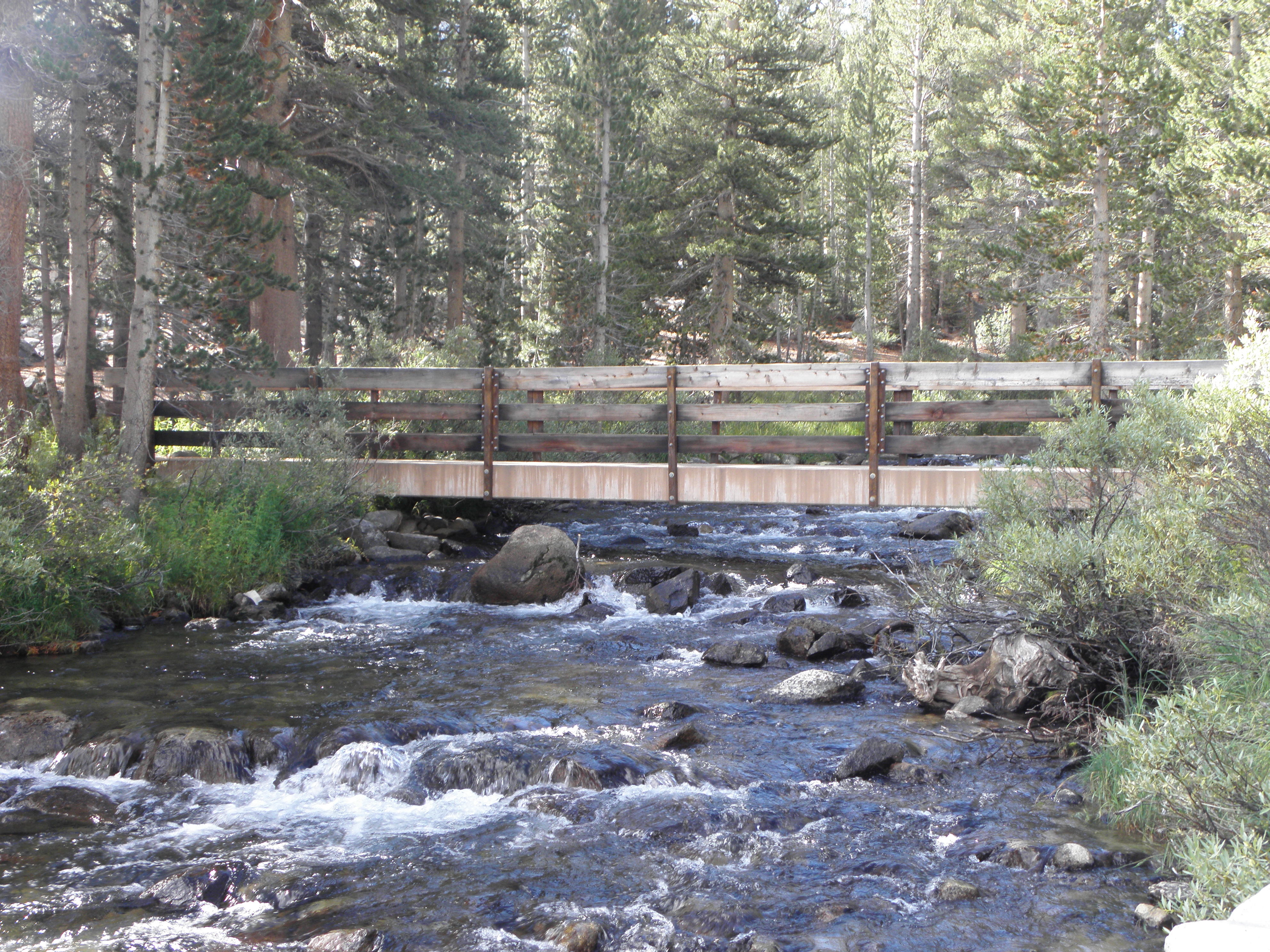
High-altitude bridge!
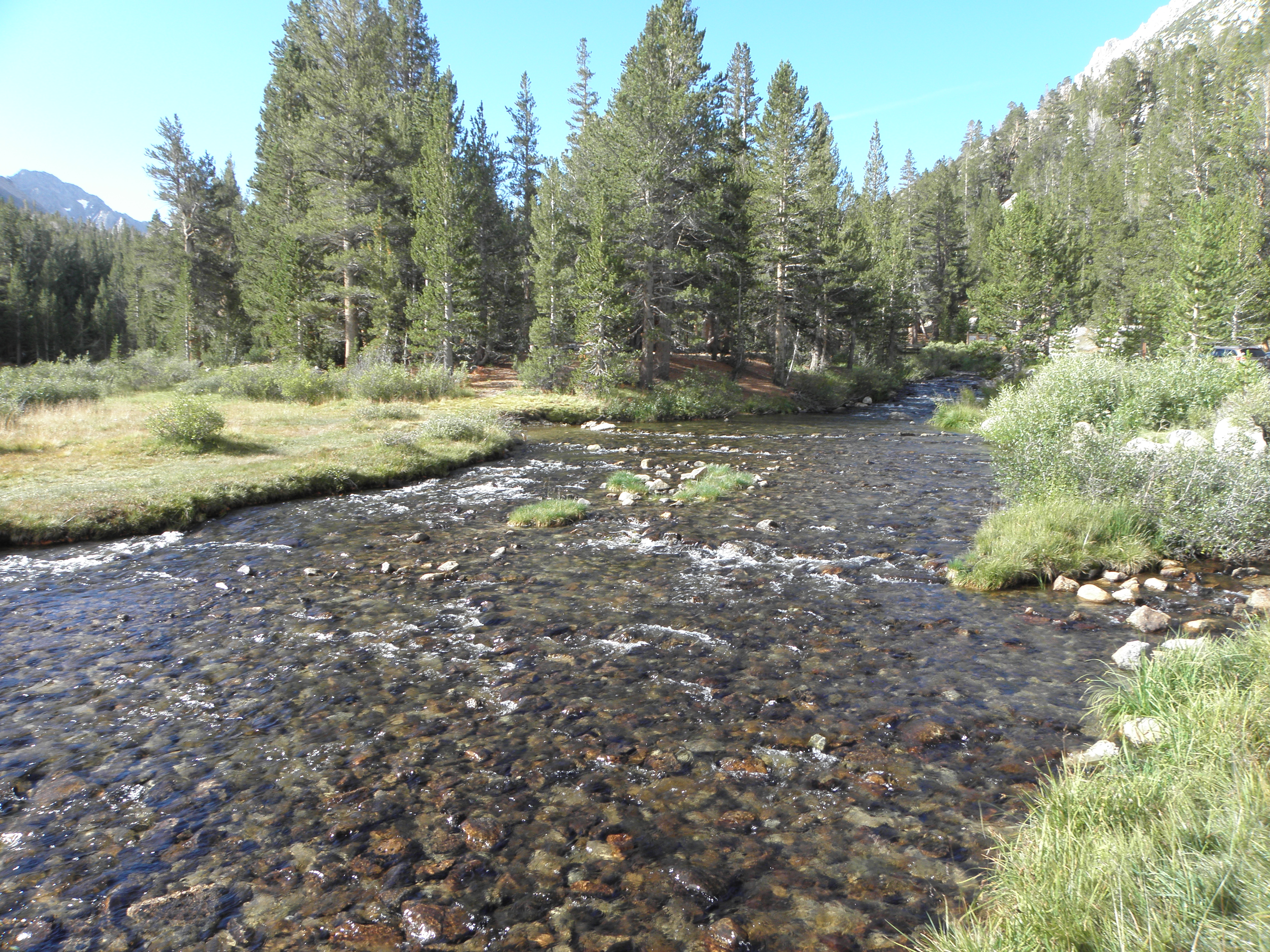
Rock Creek, with Lofty and SNO-capped peak in the background
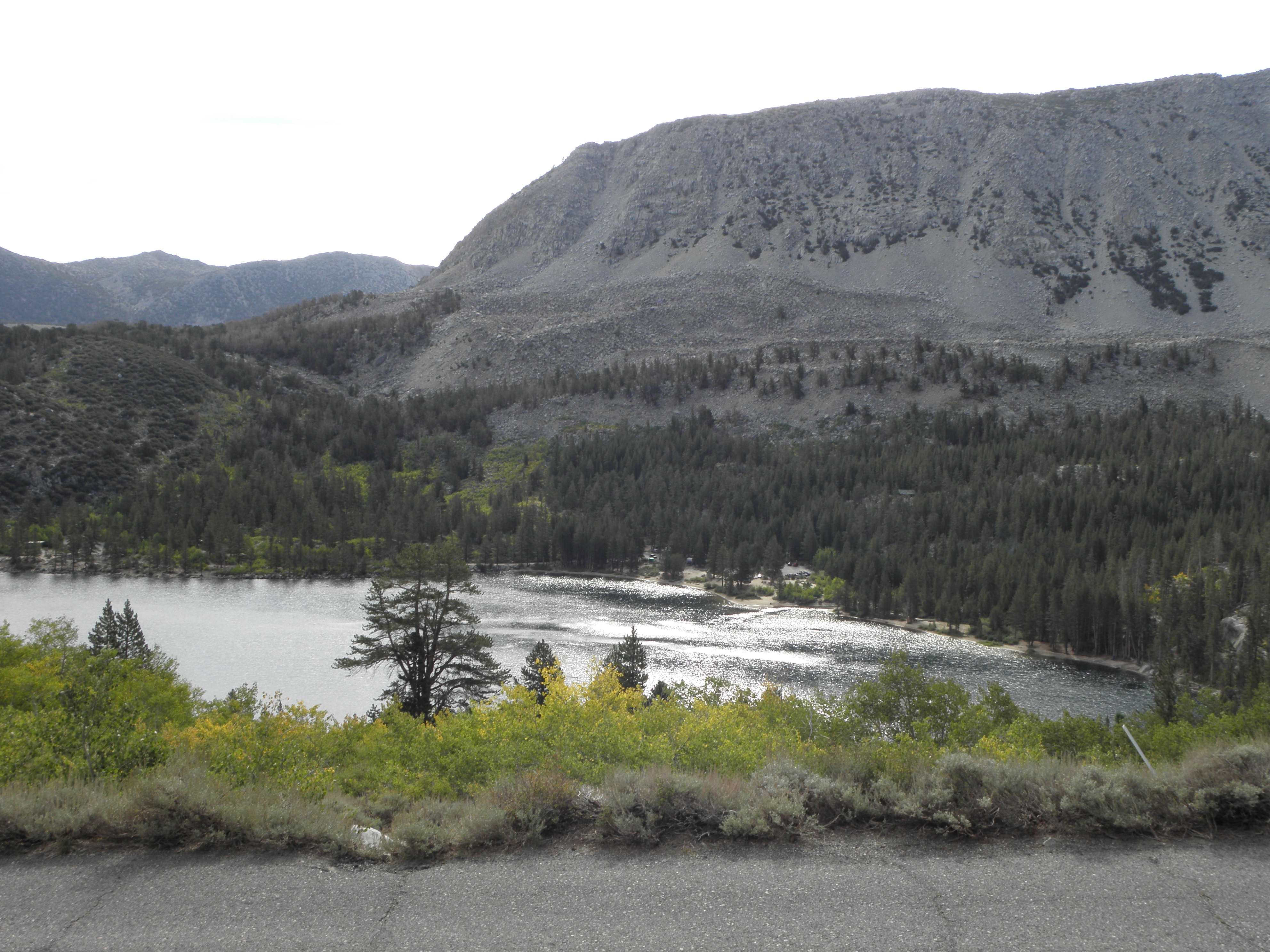
Rock Creek Lake
Having already found and fixed Saturday's Mystery Noise on the ASBO - sounded like a slightly-open window, wasn't one, got louder at speed - which turned out to be a sturdy piece of Nevada flora jammed into the sill and rubbing on the front tyre, I then got another.  A peculiar hissing.  The engine is not boiling, nor have I been visited by the P*nct*r* Fairy.  SCIENCE to the rescue: if you fill your water bottle at 1300 metres and take it up to 3100 metres the air in it will try to escape.  Crack open the valve, release the pressure, blissful silence.  Yay!
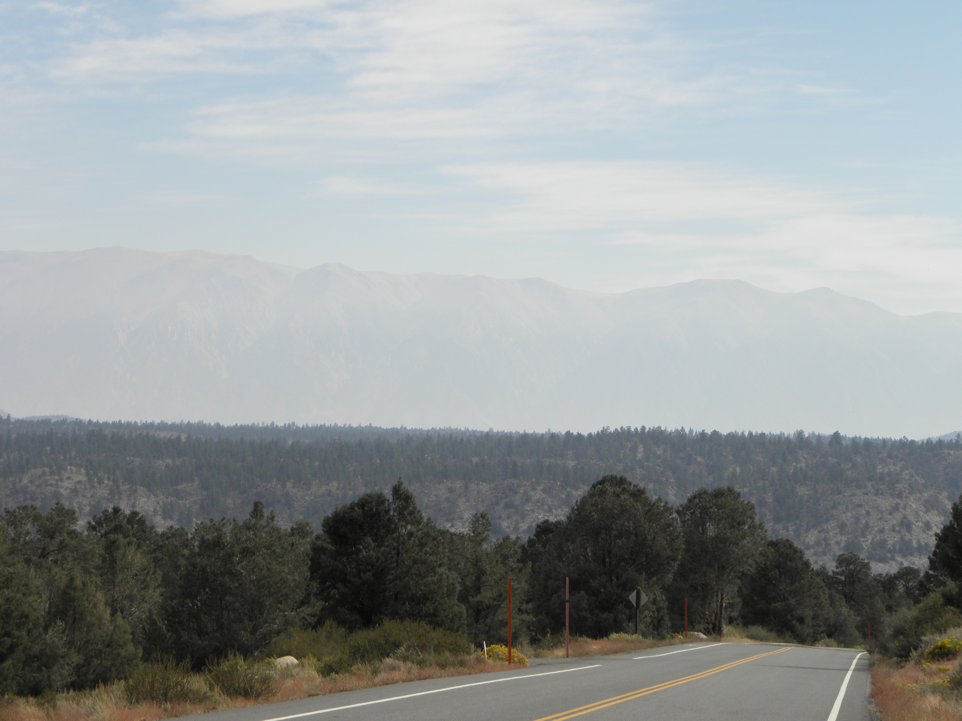
White Mountains in the distance, almost hidden by haze, and not smoke
Back to US-395, over Sherwin Summit and then downhill all the way to the point where CA-14 splits off towards LA.  Sherwin Summit is not to be confused with Sherwen's Nadir, which is commonly held to be when Paul Of That Ilk starts banging on about pro cyclists with twin-turbo V8 diesel engines or digging deep into the suitcase of courage.

I didn't spend long on CA-14, because I did not want to go to Los Angeles, because it is Ghastly.  Instead the route crosses the lower end of the Sierras at Walker pass.  The problem with the said mountains being that there are few roads across them to start with, and one fewer if you discount going through Yosemite National Park.  Some of it was familiar from 2014.  Some wasn't.  All of it was scenic, but could have been scenicer, because that smell was not from the ASBO's brakes but from burning trees chiz.  More smoke to spoil the views.  And twerps on Harley-Fergusons cornering on the wrong side of the road to try to spoil my still-fairly-shiny paintwork.

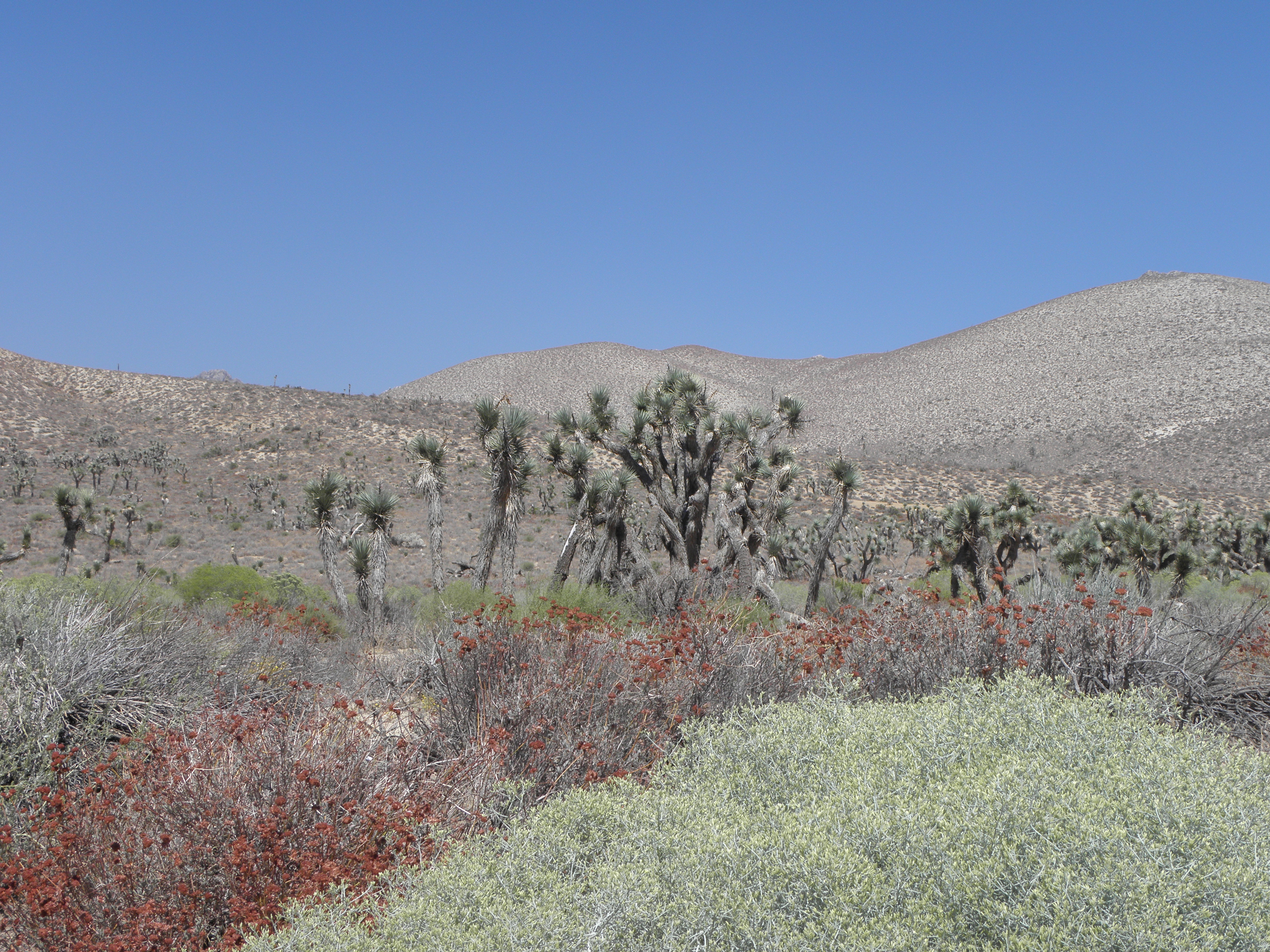
A Joshua Tree, yesterday. Sanctimonious tax-dodging git Bono mercifully absent.
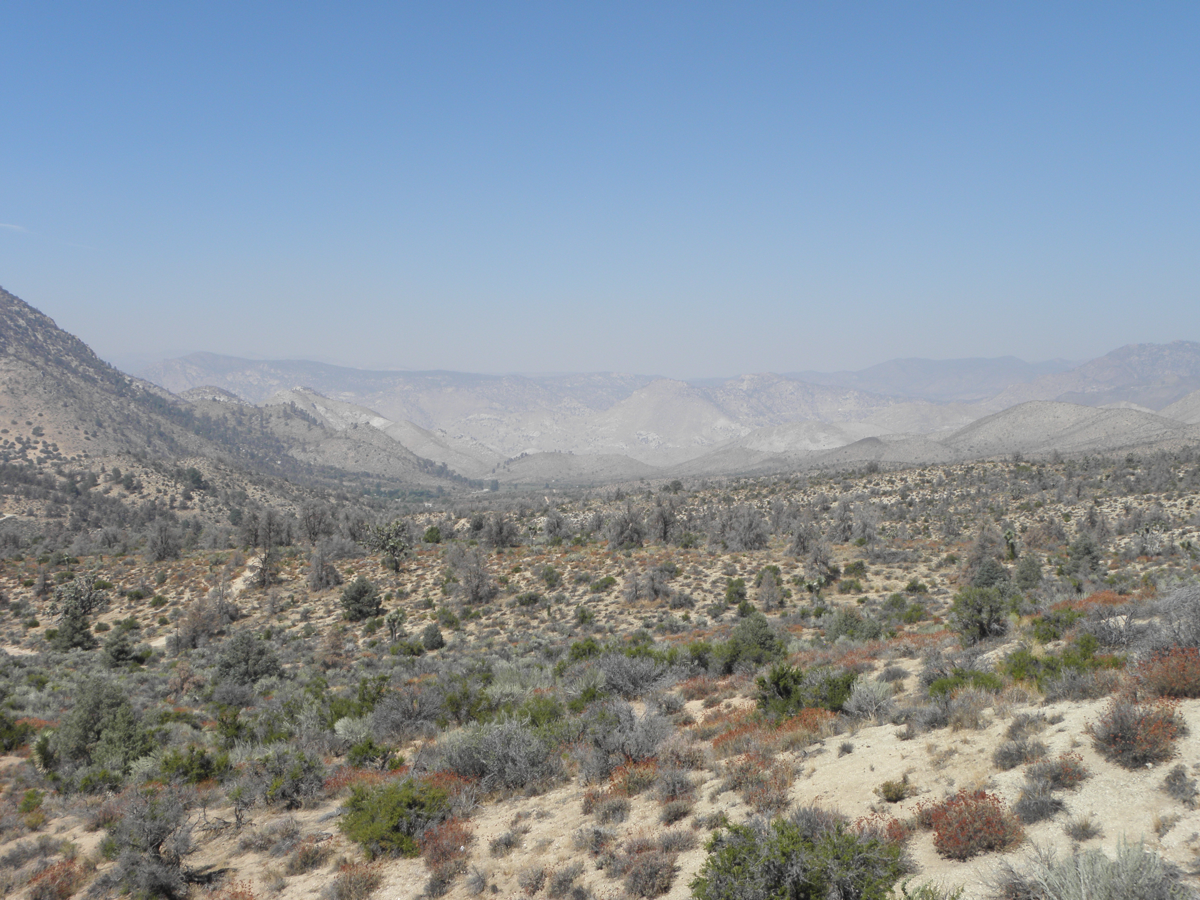
View from near the top of Walker Pass
Isabella Lake
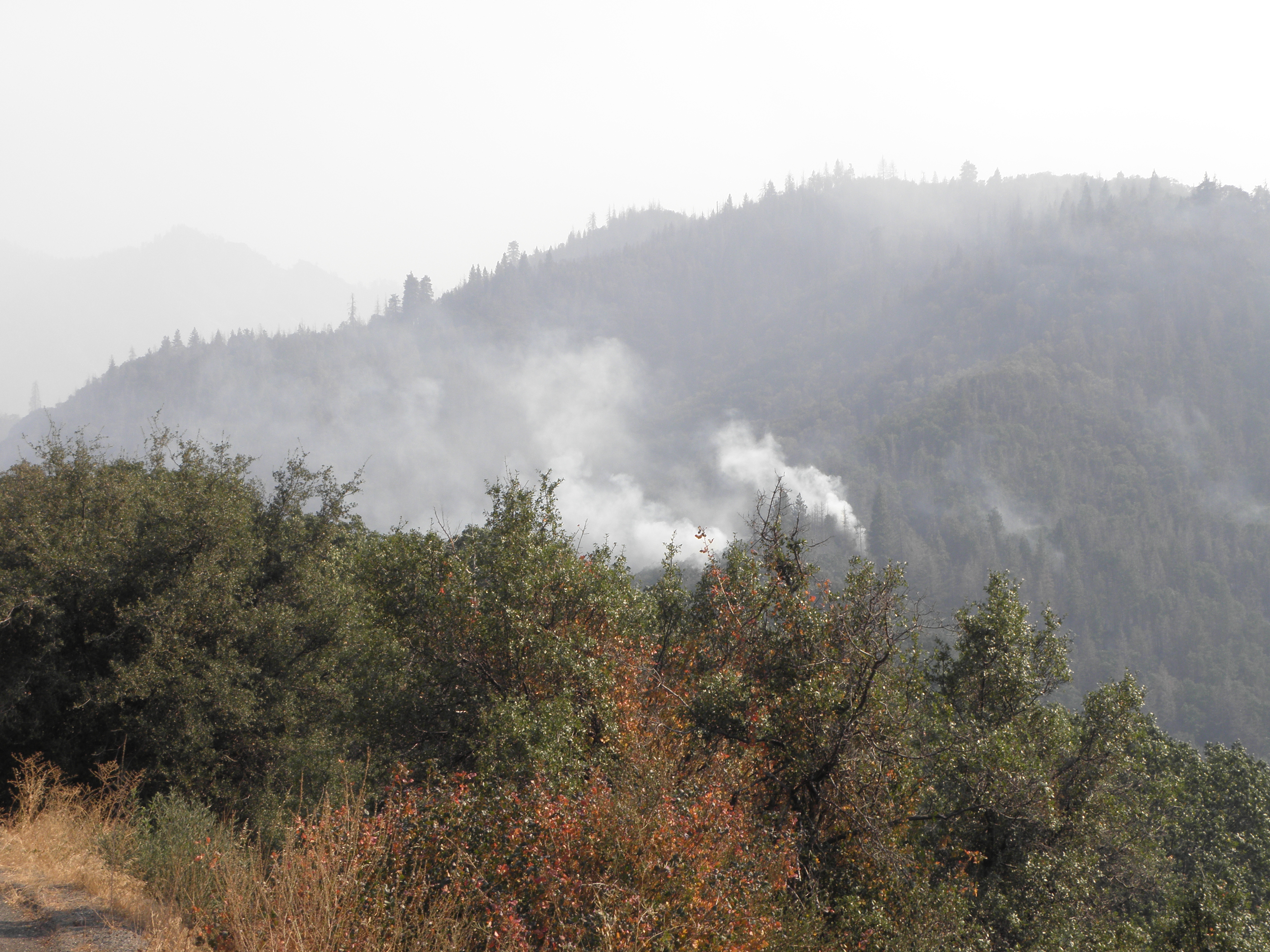
Wildfires near Camp Nelson
My suspicion that I'd been this way before was confirmed firstly when Emily started inventing junctions and secondly on passing under the Springville Flume and indeed, I popped out of the boonies onto CA-65 close to the World's Largest Olive in Lindsay.

Mudstang and World's Largest Olive, 2014
The contrast between the mountains and the Euclidean plane that is the San Joaquin valley is very striking, because it happens so quickly.  And because this is almost the West Coast, and if you want to know about this go and look at the archives for 2009.  But there was the first Dirty Pizza since Labor Day, so all is now right with the world.

No comments:

Post a Comment

O hai, spammers!

All comments are moderated so don't bother.

Kthxbai!